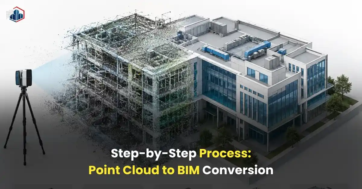

The building design and renovation sector is shifting heavily toward digital processes, and Point cloud to bim conversion has turned into a vital element for today’s building projects. By leveraging cutting-edge laser scanning technology, project groups can record exact field data and transform it into smart 3D models tailored for planning, drafting, retrofits, and asset management.
Relying on expert scan to bim services allows designers, engineers, builders, and property managers to boost precision, minimize on-site rework, and tighten up trade coordination. Yet, even with all these clear upsides, executing a point cloud to bim workflow brings along various technical and operational hurdles that can derail project schedules and data quality if managed poorly.
In this guide, we will break down the most frequent roadblocks faced during point cloud to bim conversion pipelines and share practical ways to beat them.
Understanding Point Cloud to BIM Conversion
To put it simply, point cloud to bim is the method used to translate raw laser-scanned datasets into an organized 3D digital model. Field scanners snap millions of spatial coordinates across an standing building or structure, piecing together a highly faithful digital twin of the current site conditions.
This spatial data gets processed inside advanced platforms like Revit to construct 3D environments loaded with architectural layout, structural framing, and full MEP engineering details. This workflow is incredibly popular for:
- Renovation projects
- Facility management
- Historical building documentation
- Clash detection
- Construction planning
- As-built modeling
Although the workflow offers excellent accuracy, several challenges can arise during the conversion process.
Also read: Scan to BIM for Healthcare Facilities: Why Accuracy Matters
1. Poor Quality Point Cloud Data
A massive bottleneck during point cloud to bim services is dealing with sloppy or low-grade field data. Missing scan setups, fuzzy resolutions, bad scanner placement, or physical site blockages can easily cause major blind spots or warped dimensions in the final data.
Common Causes
- Limited site access
- Reflective surfaces
- Poor lighting conditions
- Moving objects during scanning
- Inexperienced scanning teams
Solution
To dodge weak data collection, you really need to partner with seasoned field surveyors who use top-tier scanning gear. Putting together a solid target layout plan before driving out to the property ensures you capture every nook and cranny of the structure cleanly.
Quality checks should also be performed before starting BIM modeling to identify incomplete or inaccurate scan regions.
2. Handling Massive Data Files
These spatial coordinate files are notoriously massive because they hold millions of individual scanned measurements. Managing these heavy datasets can seriously drag down computer speeds, stretch out file-loading times, and introduce frustrating friction into your daily drafting routine.
Challenges Caused by Large Files
- Slow software performance
- Longer loading times
- Difficulty sharing files
- Increased hardware requirements
Solution
Efficient data management is essential for handling large point cloud files. Teams should use optimized workflows such as:
- Segmenting large scans into smaller regions
- Using cloud-based collaboration platforms
- Cleaning unnecessary scan data
- Compressing files without losing accuracy
Upgrading to high-powered computer workstations loaded with plenty of system memory and strong graphics cards will also significantly speed up the drawing process and improve overall modeling efficiency.
Also read: Scan to BIM vs Scan to CAD: What’s the Difference?
3. Difficulty in Identifying Building Elements
Point cloud data only represents physical surfaces and shapes. It does not automatically identify walls, pipes, beams, ducts, or other building components. This makes manual interpretation challenging, especially for complex buildings.
Common Issues
- Hidden building elements
- Overlapping systems
- Unclear geometry
- Complex architectural features
Solution
Experienced BIM modelers play an important role in accurately interpreting scan data. While modern drafting applications and smart automation tools can automatically identify basic building features, having a human eye run a manual double-check remains absolutely vital to ensure proper quality control.
Keeping lines of communication completely open between the field survey crew, the design architects, and the modeling technicians naturally leads to much sharper file precision.
4. Inaccurate Level of Detail (LOD)
Specifying the inappropriate Level of Detail is another frequent misstep in point cloud to bim services. Certain jobs demand highly intricate 3D assets down to the smallest bolt, whereas other assignments function perfectly with just basic block outlines.
Creating unnecessary details can increase project costs and modeling time.
Solution
Before starting the project, teams should clearly define the required LOD based on project goals. For example:
- LOD 200 for conceptual planning
- LOD 300 for design coordination
- LOD 400 for fabrication
- LOD 500 for facility management
Establishing BIM standards early helps avoid confusion and unnecessary work.
Also read: Understanding LOD in Scan to BIM: LOD 100 to 500 Explained
5. Clash and Coordination Issues
When tackling building modernizations or retrofits, what is actually out on the site rarely matches the old archived blueprints. This disconnect usually sparks massive coordination headaches when trying to line up architectural walls, steel columns, and utility runs.
Common Coordination Problems
- Pipe and duct clashes
- Structural conflicts
- Ceiling clearance issues
- Incorrect equipment placement
Solution
Following a precise point cloud to bim workflow clears up these conflicts by supplying an undeniable record of real-world site conditions. Running clash detection software like Navisworks lets you spot trade overlaps early in the virtual phase, long before teams start pouring concrete or running ducts.
Regular coordination meetings between project stakeholders also help resolve issues quickly.
6. Time-Consuming Modeling Process
Converting point cloud data into BIM models requires significant manual work. Large or complex projects can take considerable time to complete.
Factors Affecting Project Time
- Building complexity
- Required LOD
- Scan quality
- Size of the facility
Solution
Implementing automated conversion plugins and relying on uniform drawing standards can give your daily productivity a huge lift. Seasoned modeling teams excel at shortening delivery windows without compromising on the underlying precision of the data.
Your master schedule needs to account for realistic time blocks dedicated to file registration, detail modeling, deep quality assurance passes, and final client adjustments.
7. Software Compatibility Issues
Various project partners often run completely different modeling programs, which can trigger annoying translation errors and formatting headaches during shared design reviews.
Solution
Using industry-standard formats such as:
- IFC
- RCP
- RVT
- DWG
helps improve interoperability between teams and software platforms. Establishing file standards at the beginning of the project also prevents workflow disruptions.
Why Professional Point Cloud to BIM Services Matter
Successfully executing a point cloud to bim conversion demands deep technical background, mastery of specialized software, and tight project communication. Teaming up with proven modelers ensures you get:
- Accurate as-built models
- Faster project delivery
- Reduced construction errors
- Better design coordination
- Improved facility management
Professional teams can efficiently handle complex scan data and deliver BIM models that support successful project execution.
Conclusion
Navigating a point cloud to bim conversion project brings incredible advantages for modern structural retrofits and new builds, though it undeniably carries hurdles around data sizes, scan resolutions, team alignment, and drafting accuracy. However, by adopting structured workflows, proper processing tech, and relying on trusted modeling specialists, these obstacles can be completely neutralized.
As the commercial building landscape pushes deeper into digital transformation, this spatial conversion process will only grow more central to keeping projects lean, cutting waste, and bridging communication gaps. Companies that secure dependable scan to bim services put themselves in a position to win, backed by superior project logistics and foolproof building records.
Also read: Laser Scanning vs Traditional Surveying: Which is Better for BIM?